MAGDALENEFJORDEN
Our Favourite Fjord
Magdalenefjorden in Spitsbergen: A Spectacular Fjord of Ice and History
Key Information about Magdalenefjorden:
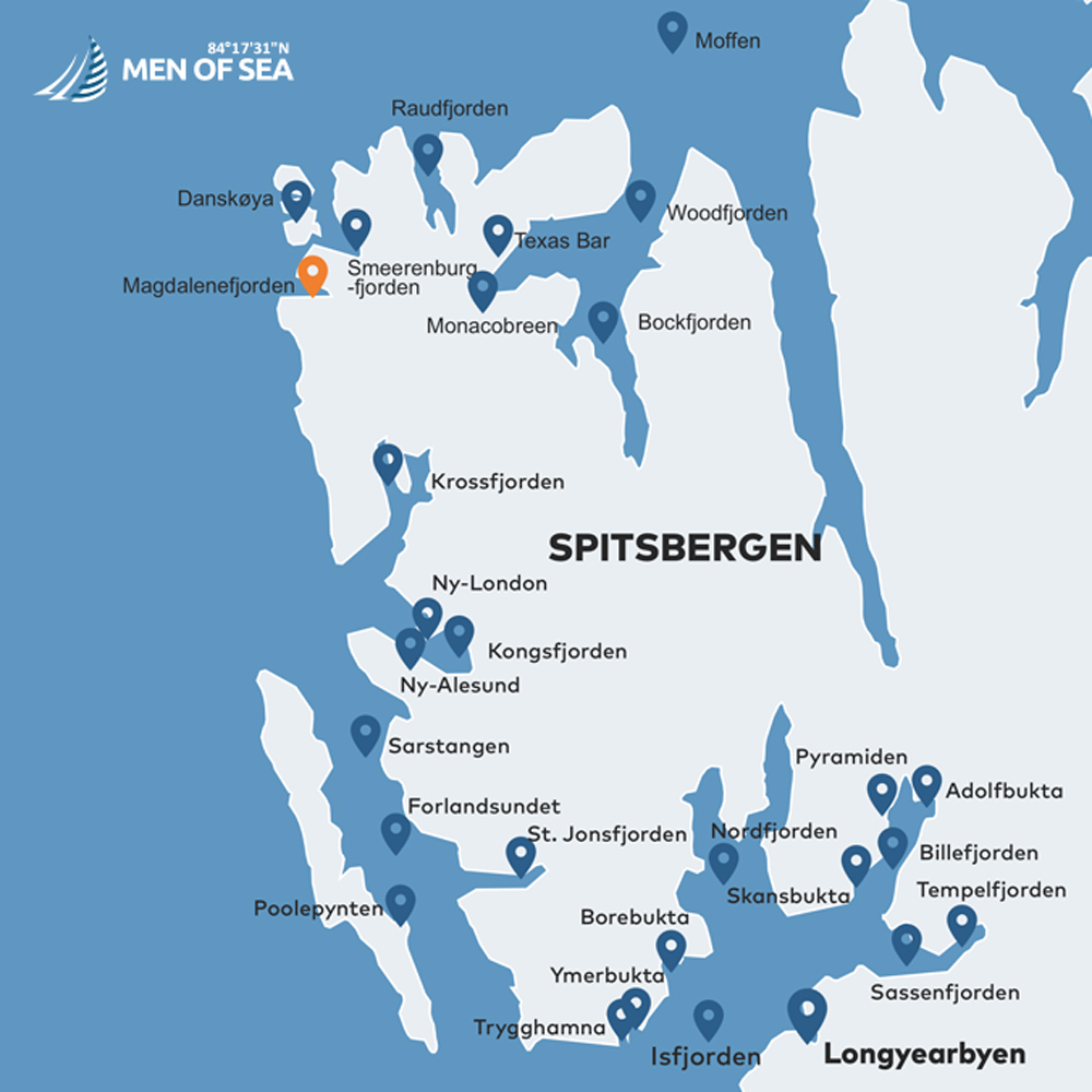
Location: Western part of Spitsbergen, between the Reuschhalvøya and Hoelhalvøya peninsulas.
Dimensions & Landscape: The fjord is 8 km long and up to 5 km wide. Its entrance is guarded by a monumental 600-meter mountain gate, and four glaciers descend directly into its waters.
History: Discovered in 1596 by Willem Barents. The Gravneset peninsula holds the remains of a 17th-century whaling station and a historical cemetery (130 graves).
Wildlife: A kingdom of birds (mainly little auks), walruses, whales, and polar bears.
Trekking: A popular 3-kilometer route from Trinityhamna bay to the active front of the Gullybrenn glacier.
A Spectacular Mountain Gate and Four Glaciers
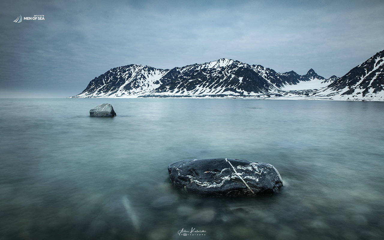
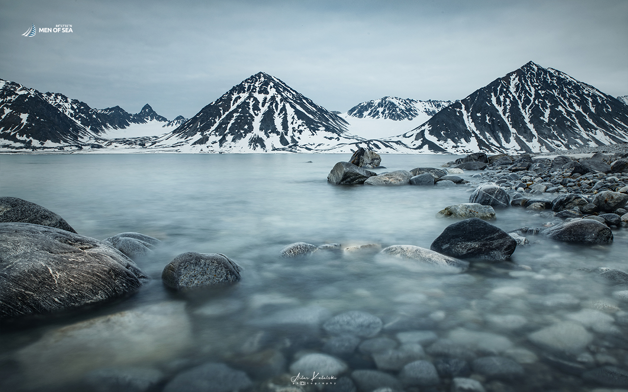
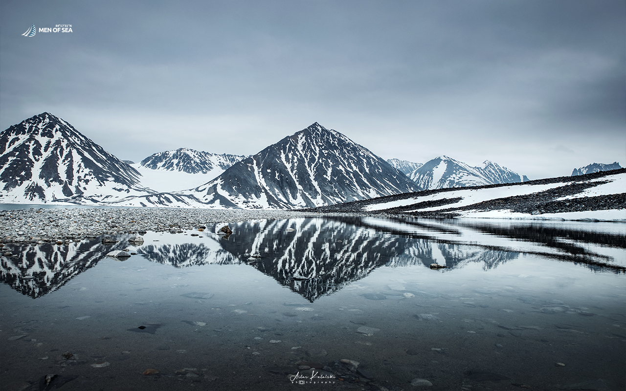
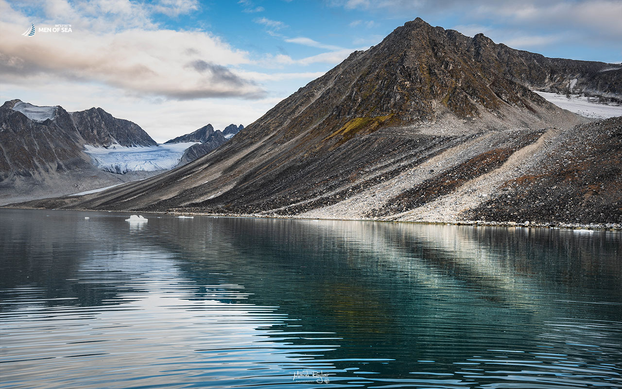
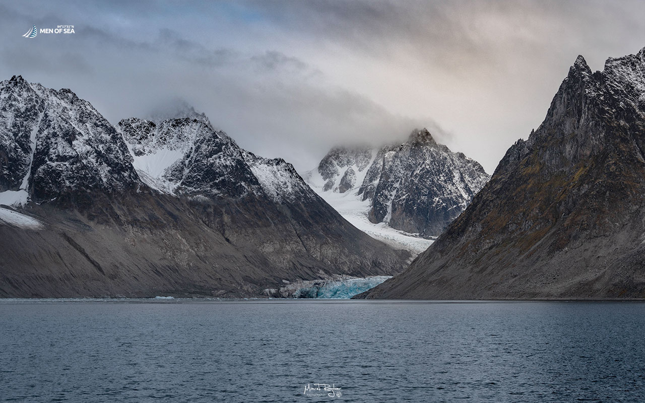
Magdalenefjorden is undoubtedly one of the most beautiful and memorable fjords in the entire Svalbard archipelago. This remote, wild corner in the western part of Spitsbergen stuns with its landscape from the very first moments. The entrance to the fjord forms a massive, 600-meter gate carved by snow-capped, towering mountain peaks, creating a highly dramatic visual effect.
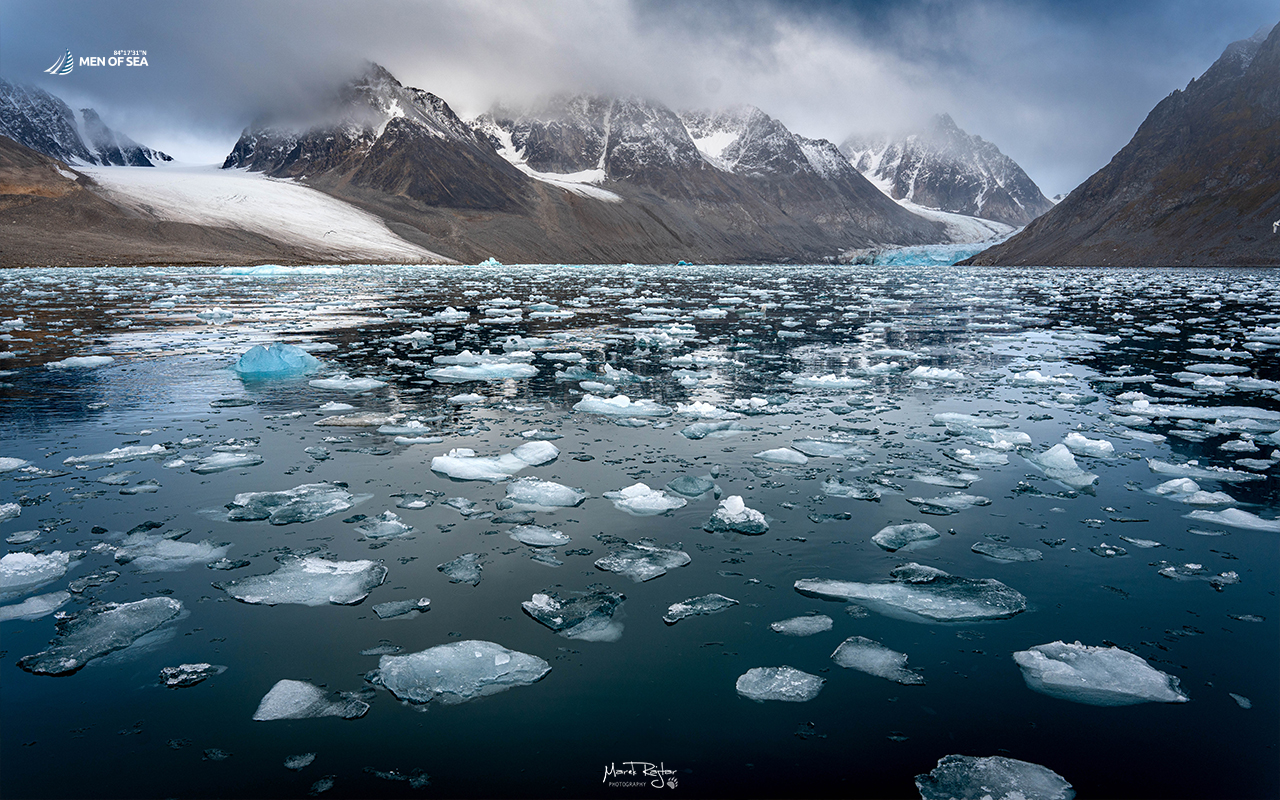
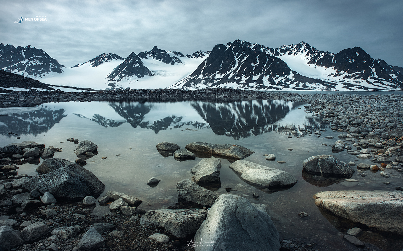
The interior of the fjord is equally impressive. It is closed off to the south by the picturesque Gullybukta bay, and to the east by the retreating Waggonwaybreen glacier. In total, four glaciers descend into the waters of Magdalenefjorden, overseen by jagged, perpetually snow-covered mountain summits.
From the “Bay of Tusks” to the Whalers’ Cemetery
The exploration history of this place dates back to the late 16th century and is closely tied to British and Dutch sailors. The first was the famous Willem Barents, who in 1596, after finding numerous walrus tusks here, named the area the “Bay of Tusks.” A few years later, in 1614, Robert Fotherby named it Maudlen Sound, and dubbed the present-day Gravneset peninsula Port Trinity.
It was exactly here in the 17th century that a thriving whaling station was established, operating until 1623. A modern testament to that brutal, industrial era is the remains of four historical blubber ovens used for melting whale fat. Right next to them lies a historic cemetery from the 17th and 18th centuries, concealing 130 graves of former hunters.
These monuments suffered heavy damage when the first tourists began arriving in the 19th century, trampling the delicate tundra vegetation and historical graves. Ultimately, to protect this heritage, the remains were professionally secured and fenced off in 2002.
Arctic Fauna and the Kingdom of Little Auks
Magdalenefjorden is a fantastic destination for nature lovers, particularly ornithologists. The high, inaccessible cliffs provide an ideal breeding ground for many bird species, among which little auks absolutely dominate. These small seabirds nest here in massive colonies. Besides the birdlife, the waters and shores of the fjord are regularly visited by whales, lounging walruses, and patrolling polar bears.
Trekking to the Gullybrenn Glacier – The Power of Ice and Hidden Dangers
For our crew, Magdalenefjorden is an absolute must-see during our expeditions across northwestern Svalbard. Whenever conditions permit, we drop anchor in the small bay of Trinityhamna and make a Zodiac landing on the nearby sandy beach.
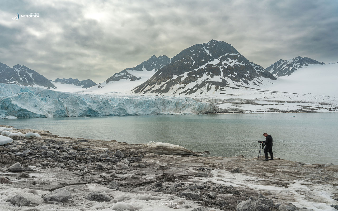
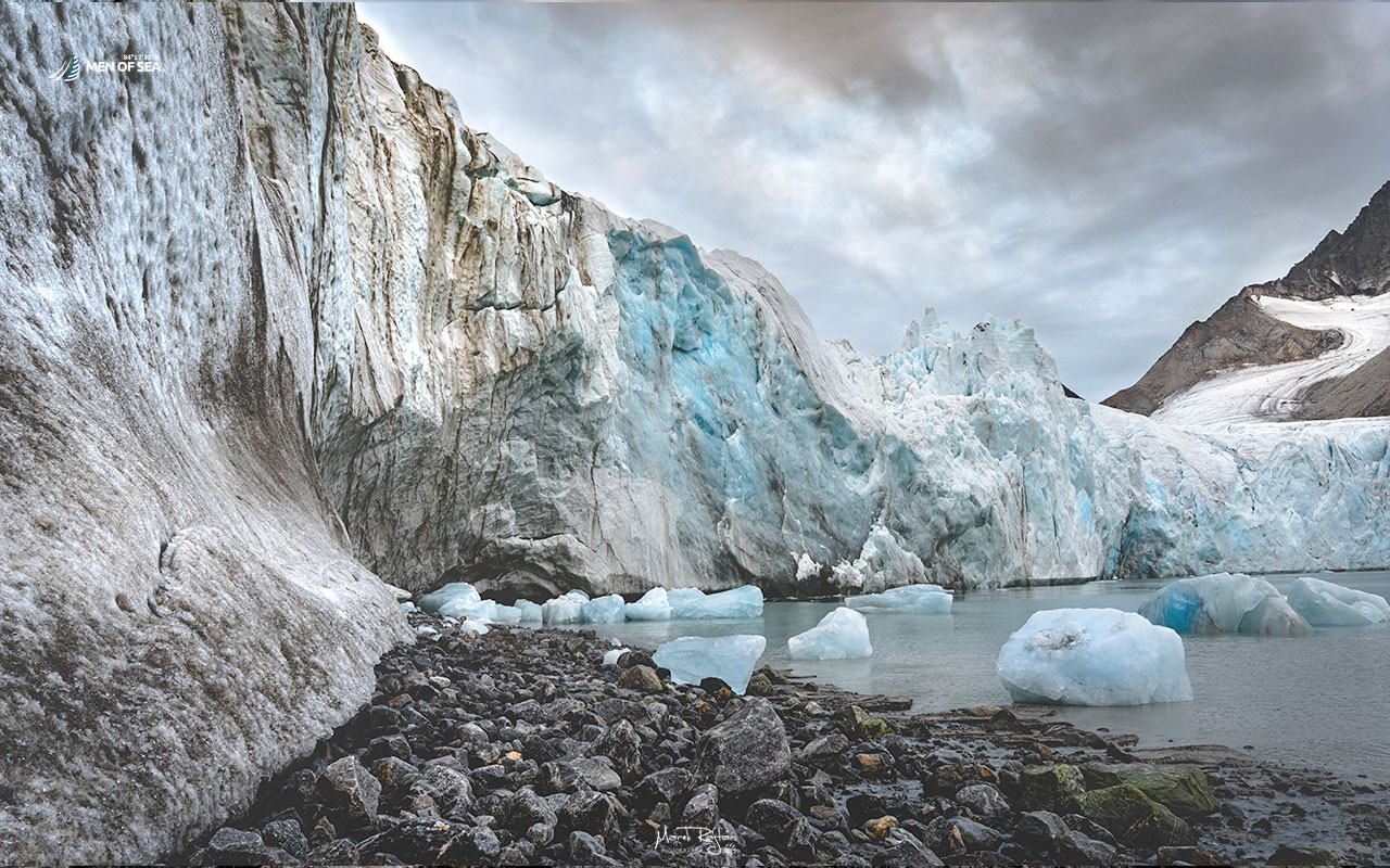
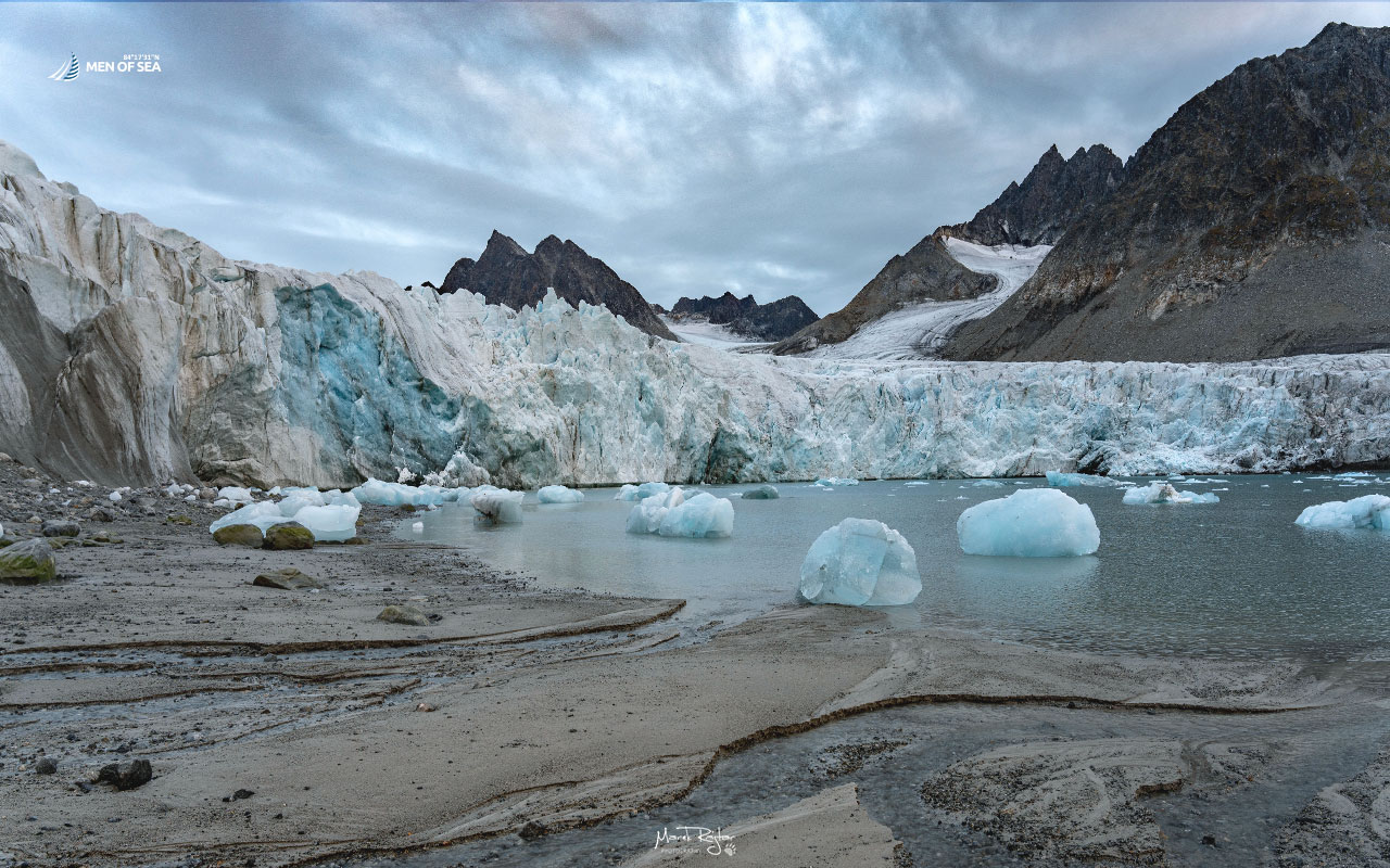
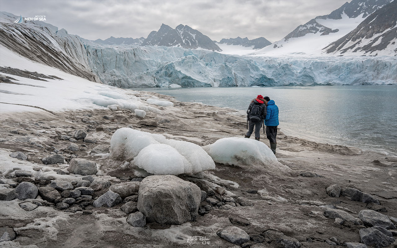
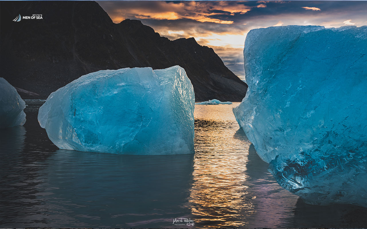
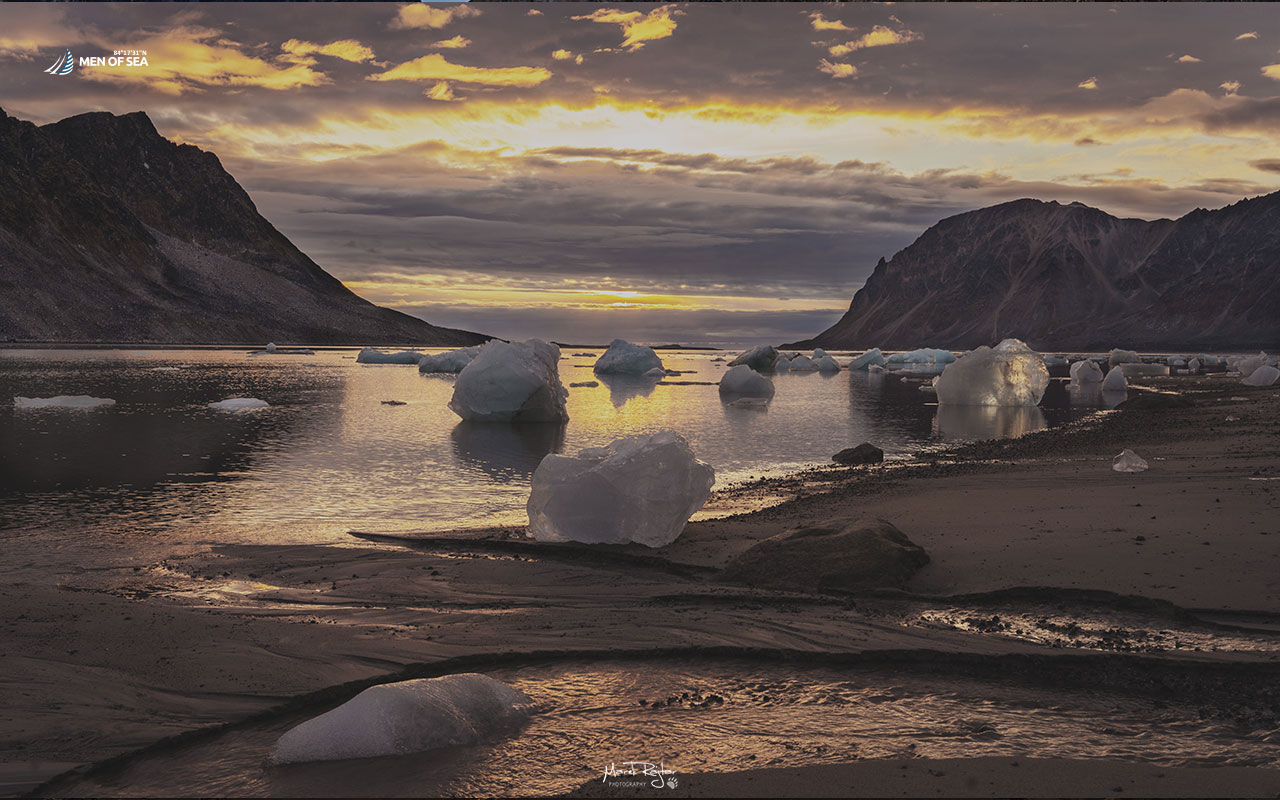
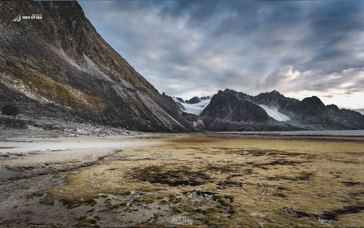
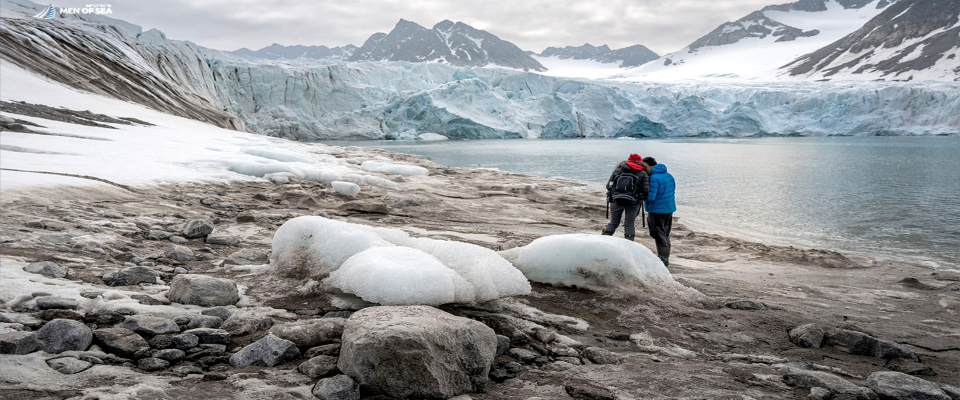
This is the starting point for one of the most fascinating, multi-hour treks toward the front of the Gullybrenn glacier. The route, just under 3 kilometers long, runs along a shoreline bristling with beaches and scree slopes. Along the way, we pass meltwater pools, small lakes, and streams fed by the melting ice. The shores are often littered with “ice calves”—blocks of ice expelled by the waves that, until recently, were part of the glacier.
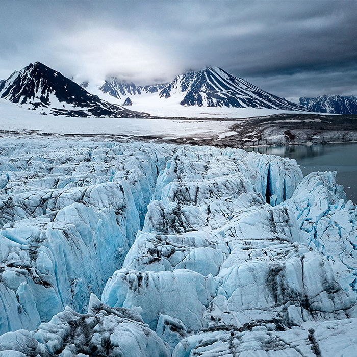
Gullybrenn rests partly on the beach and partly descends directly into the sea. It is a highly active glacier; from a safe distance, you can watch as gigantic blocks of ice break off from the wall with a thunderous roar, crashing into the water and creating massive splashes and high waves.
However, it is crucial to remember that trekking in this area requires the utmost caution. The route leads through continuous rolling hills, boulders, and depressions, which severely restrict visibility. It was exactly in this uneven terrain that we once had a close encounter with a tracking polar bear. Although the situation ended safely for everyone, it serves as a perfect reminder of who the true master of Magdalenefjorden is.
Frequently Asked Questions (FAQ) – Magdalenefjorden
Where exactly is Magdalenefjorden located?
This fjord is located in the western part of Spitsbergen (Svalbard archipelago), between the Reuschhalvøya and Hoelhalvøya peninsulas.
What is Gravneset and what can you see there?
Gravneset is a small peninsula inside Magdalenefjorden, formerly known as Port Trinity. Visitors can see the fenced and protected remains of a 17th-century whaling station, including blubber ovens and a historical cemetery with 130 graves.
Why can trekking to the Gullybrenn glacier be dangerous?
The terrain around Trinityhamna bay and on the way to the Gullybrenn glacier is full of small hills, boulders, and depressions. This topography severely limits your field of vision, making it easier for polar bears to approach tourist groups unnoticed.
What animals can be spotted in Magdalenefjorden?
The area is famous for its massive breeding colonies of little auks. In the waters and on the beaches, you can frequently encounter walruses, whales, and polar bears.