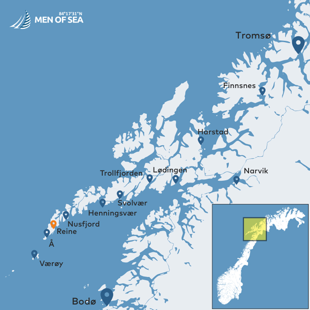
REINE
An Oasis of Beauty and Tranquillity.
BASIC INFORMATION
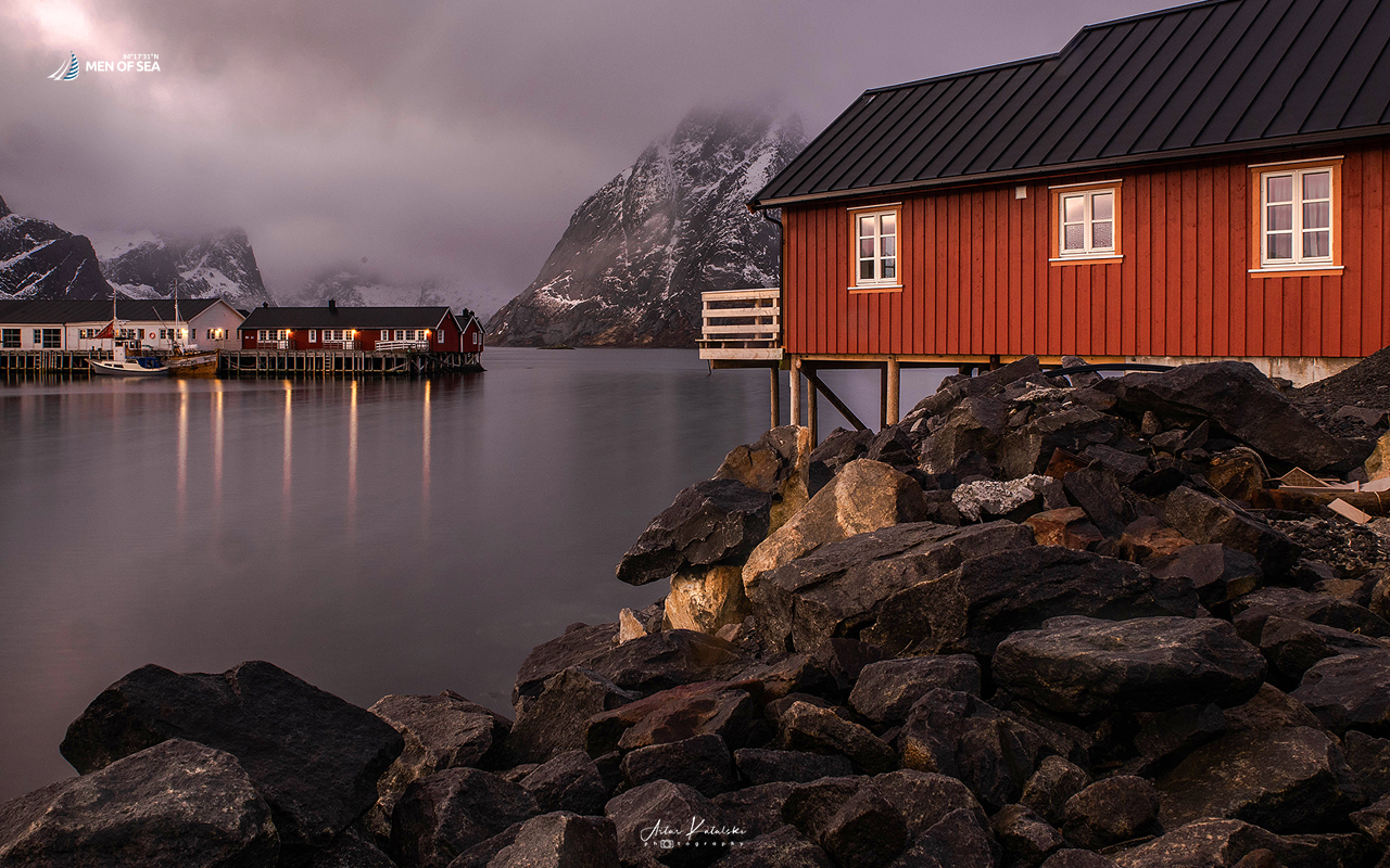
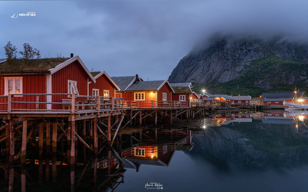
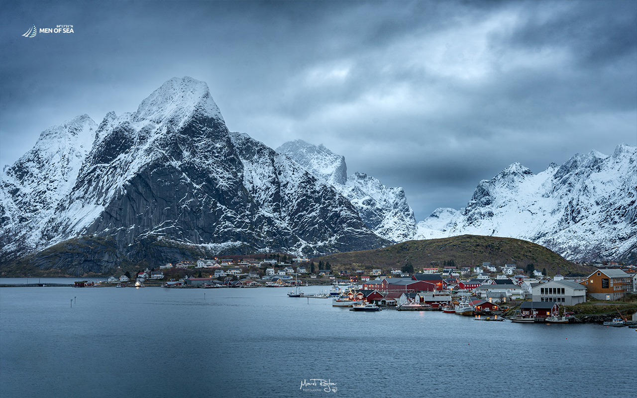
Reine is a small fishing village of around 300 inhabitants, located on the island of Moskenesøya in the Lofoten archipelago. It is widely regarded as one of the symbols of Lofoten, and its spectacular scenery has appeared on countless postcards and in photographs taken by visitors from all over the world.
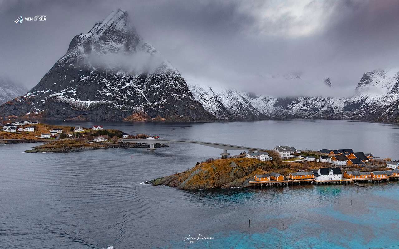
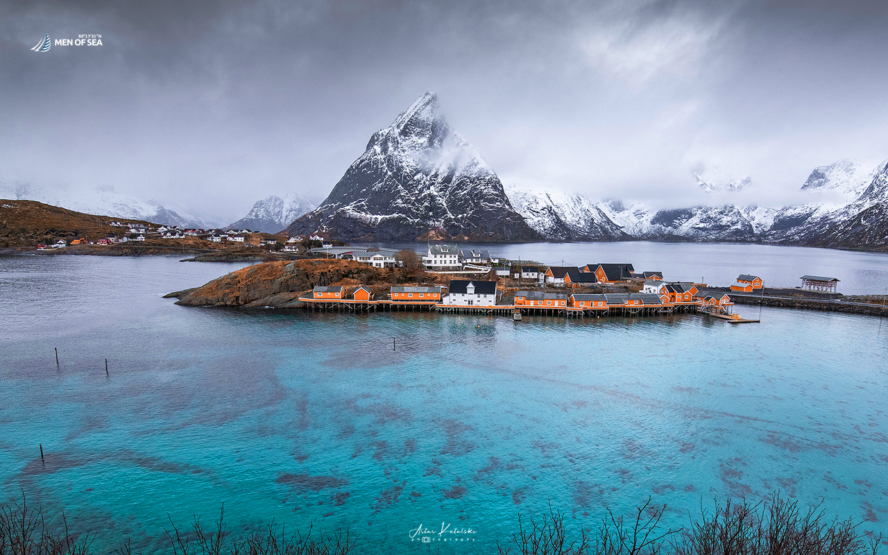
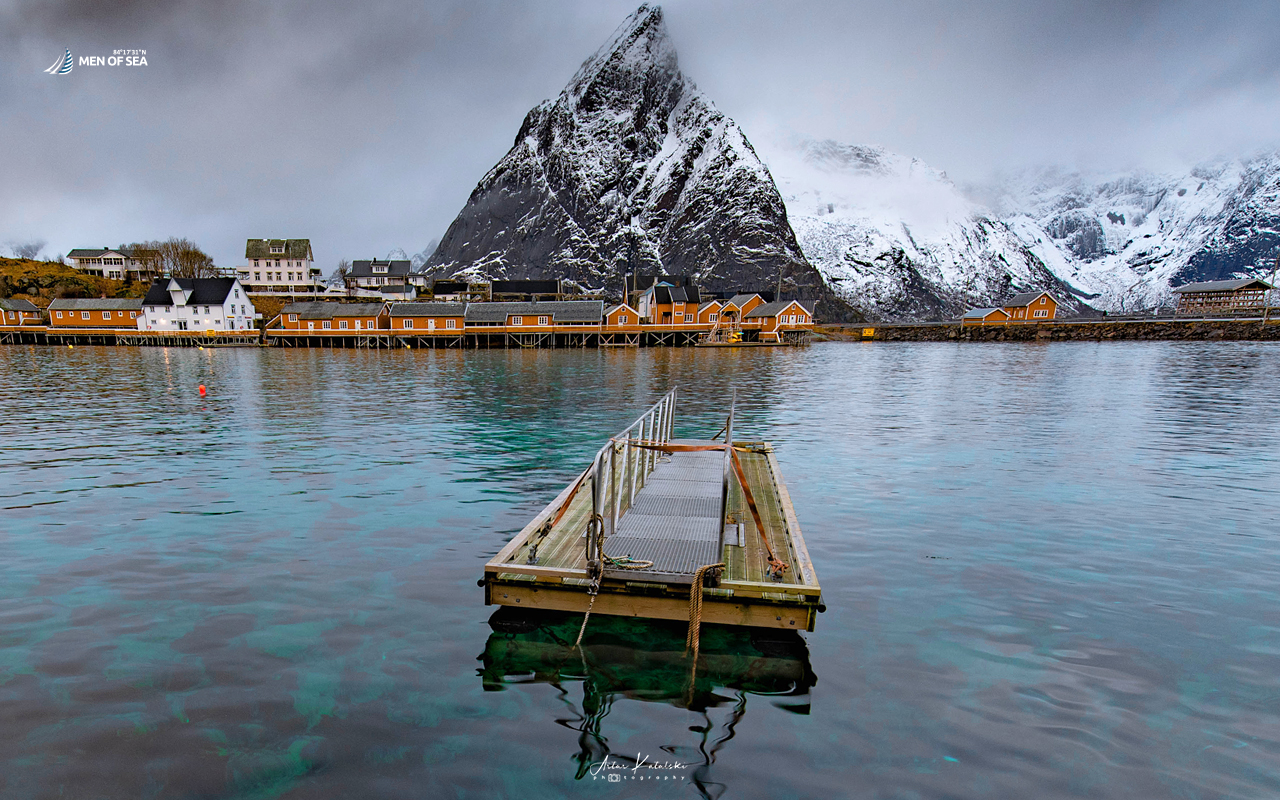
The small village of Reine is spread across several islands connected by picturesque bridges. The mountains of Lofoten are not particularly high, but they rise dramatically and steeply from the sea, creating an extraordinary landscape. One of the most distinctive peaks is the pointed Olstinden (675 m above sea level), while the most spectacular panorama of Reine can be enjoyed from Reinebringen.
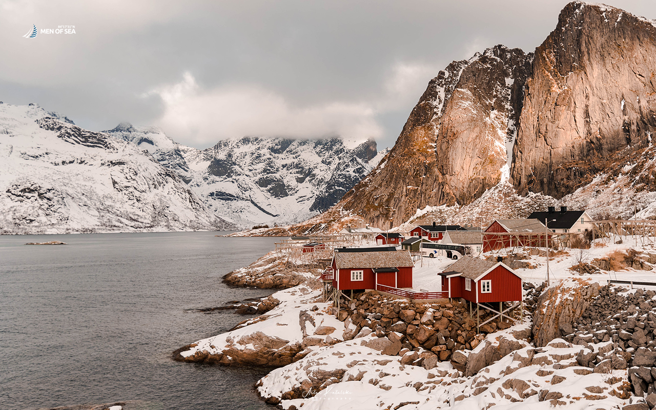
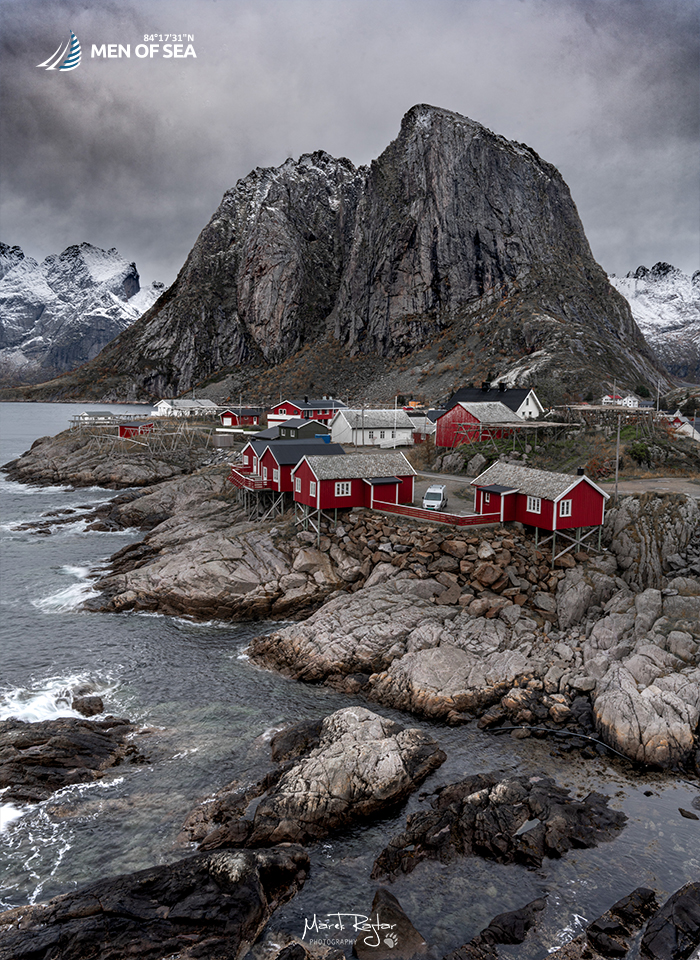
Just nearby lies Hamnøy, home to one of the most famous and photographed viewpoints in the entire Lofoten archipelago.
FROM ISLAND TO ISLAND
Reine is an oasis of peace and tranquillity—a perfect place to slow down, relax and simply admire the fairytale scenery. From approximately September to April, it is also an excellent location for observing and photographing the Northern Lights.
Despite its small size, Reine is a great base for exploring the southern Lofoten Islands. The small fishing harbour is still active and includes a fish-processing facility, so the distinctive aroma of the fishing industry occasionally becomes part of the authentic local atmosphere.
From Reine, public transport takes you to the very end of the Lofoten road network and the tiny village of Å, only about 10 kilometres away. Although Reine is scattered across islands, a network of characteristic bridges connects the village with the rest of the archipelago. The European E10 route passes directly through the area.
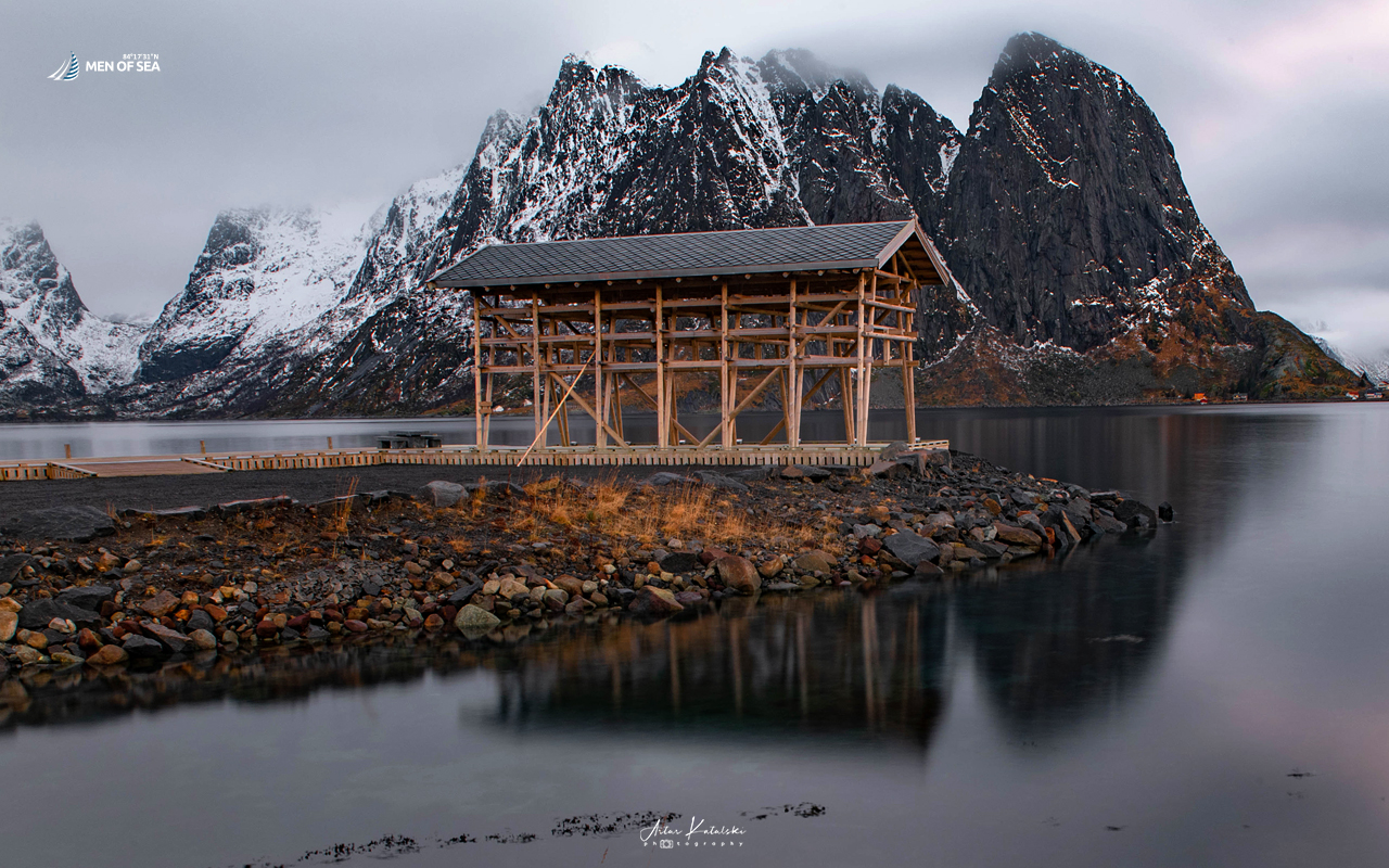
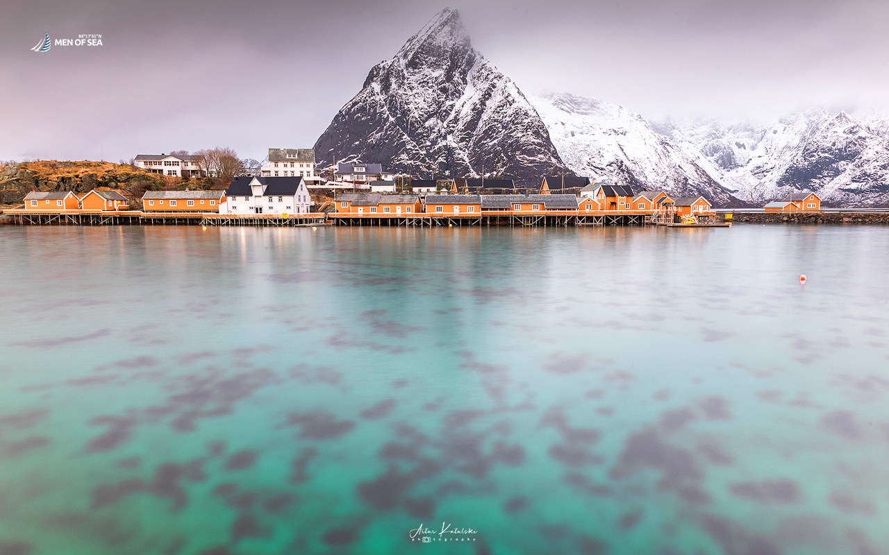
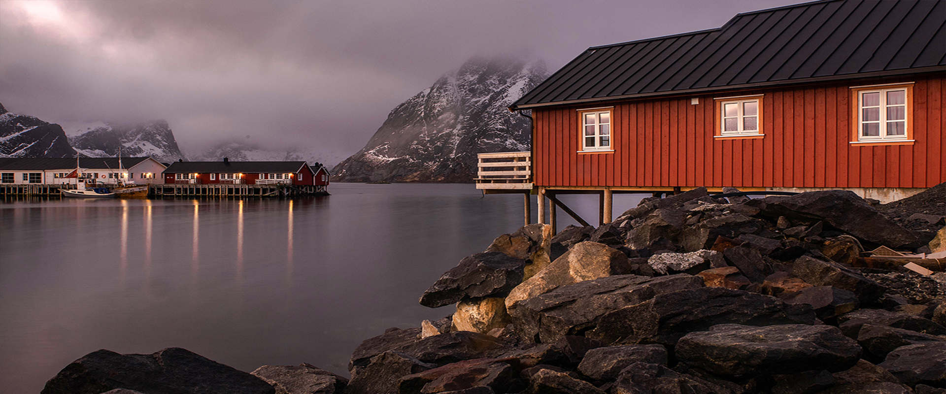
The combination of steep mountains, narrow fjords, tiny islands, colourful fishermen’s cabins and bridges crossing the sea creates one of the most recognisable landscapes in northern Norway.
WHAT DO WE DO IN REINE?
One of our main activities is the hike to Reinebringen (448 m above sea level). The ascent usually takes around 1–2 hours, and the panorama from the top is truly breathtaking. In good weather, you can see not only Reine itself but also Reinefjorden, Kjerkfjorden, Sakrisøy and Hamnøy.
The climb is steep and should only be attempted in suitable weather conditions, particularly when the route is free of ice.
Another option is a 3–4 hour, approximately 11 km photography walk, taking us through some of the most beautiful photographic locations in the area. These include viewpoints around Reineveien 125, Hammerskaft–Horn, Olenilsøya Kystfort, the famous Hamnøy photo spot, and several smaller viewpoints along the route.
We also often visit one of the local restaurants to sample traditional Norwegian specialities. When the weather makes hiking difficult, we can take a bus to explore nearby Å. Reine’s sheltered harbour also makes it a good place for our yacht to wait out unfavourable weather conditions.