MAGDALENEFJORDEN
Our Favourite Fjord
BASIC INFORMATION
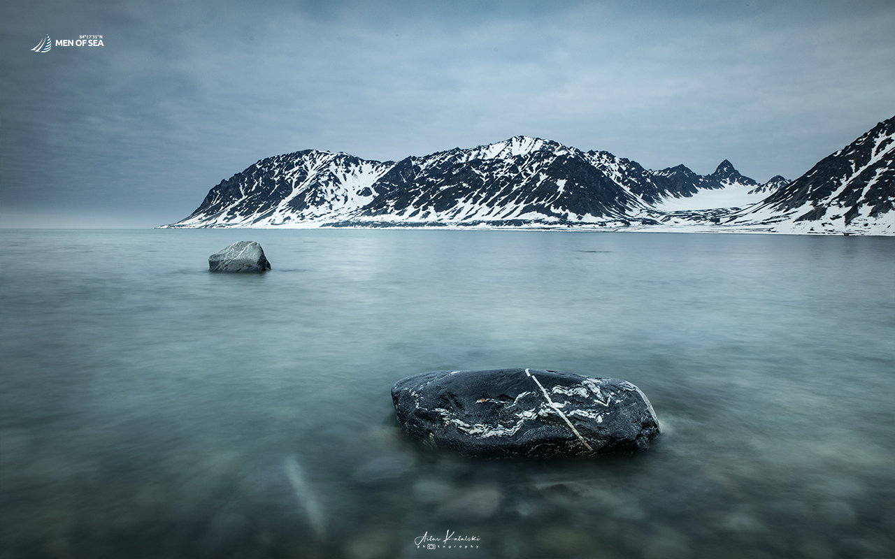
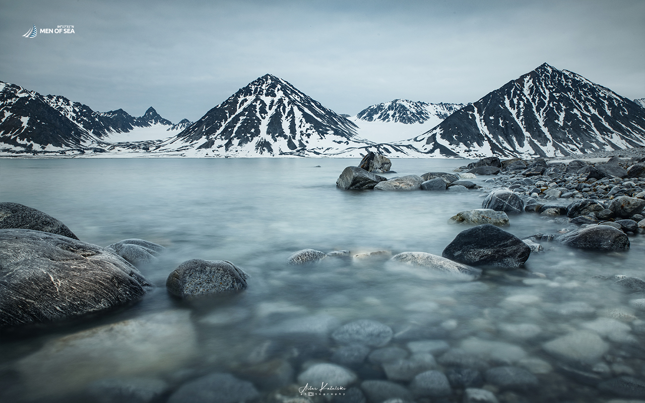
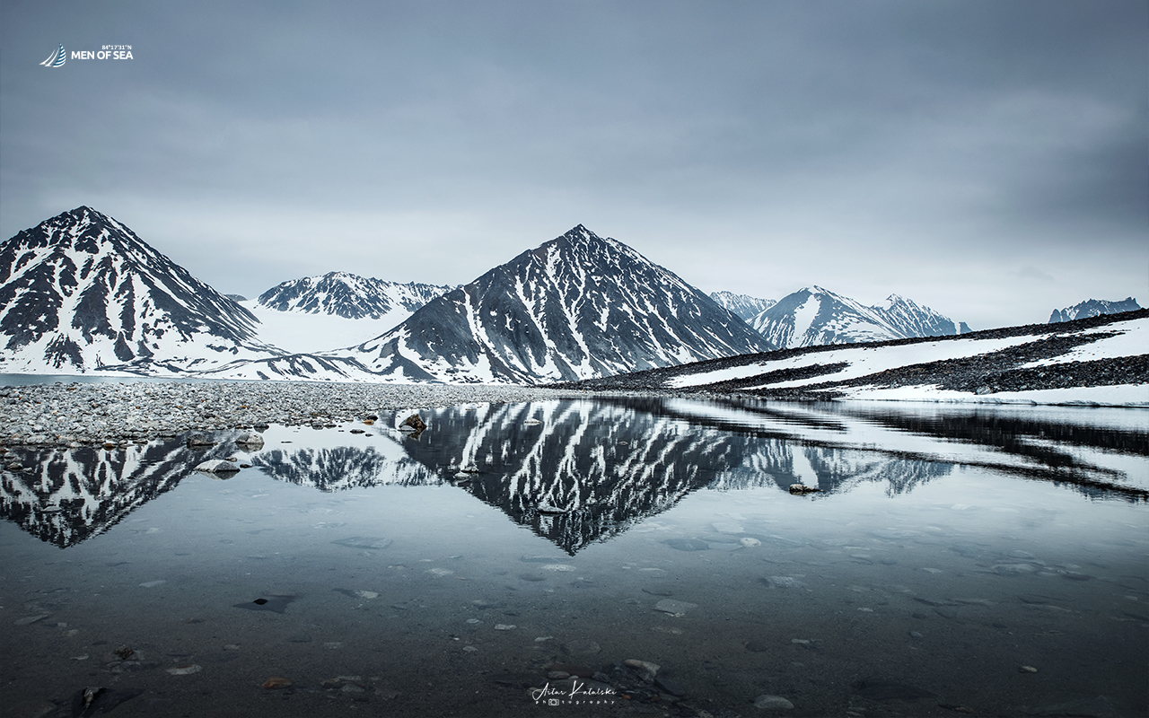
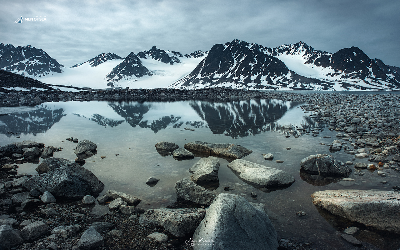
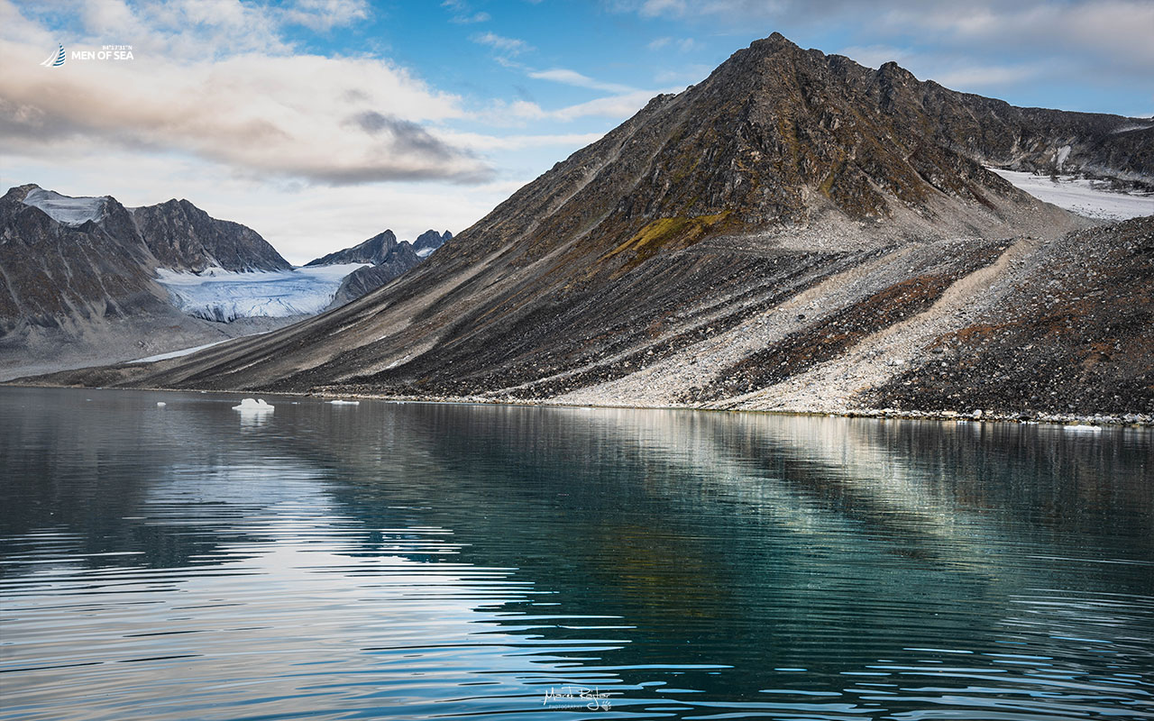
Magdalenefjorden is one of the most beautiful fjords of Svalbard. It lies between Reuschhalvøya and Hoelhalvøyama in the western part of Spitsbergen. It is 8 km long and 5 km wide. Its southern side is closed off by a popular bay, Gullybukta, and its eastern side by the retreating Waggonwaybreen glacier.
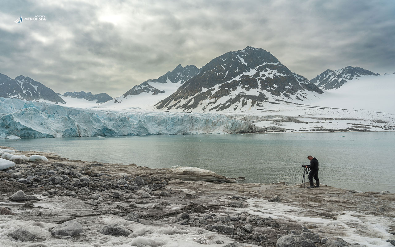
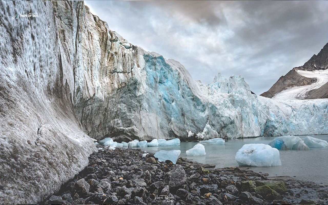
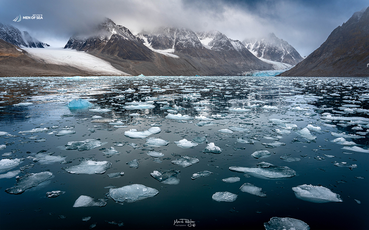
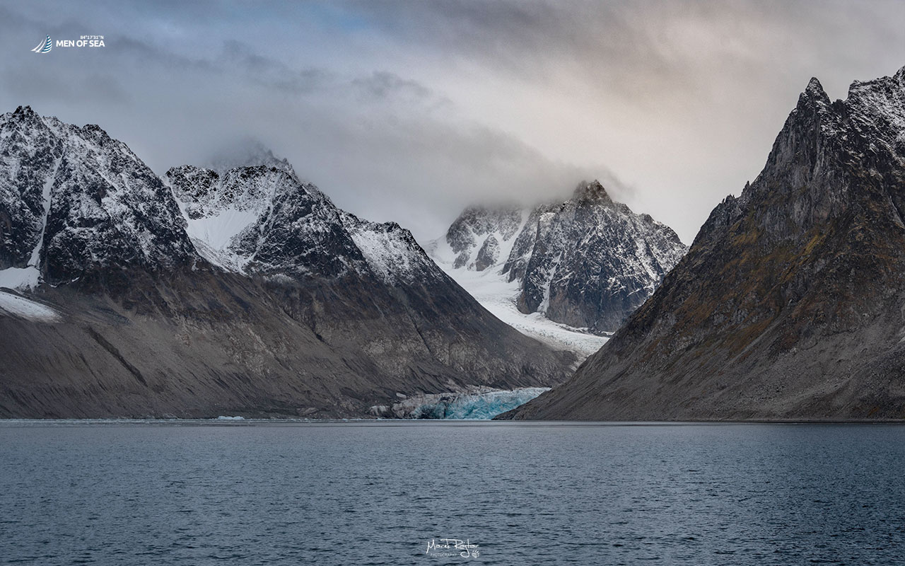
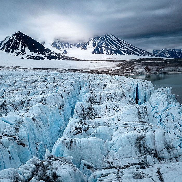
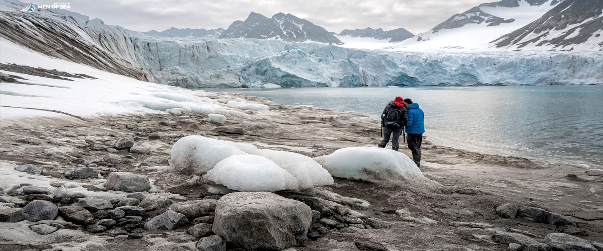
Magdalenefjorden is one of those remote, wild places that leave a lasting impression with its spectacular landscapes. Four glaciers descend into the sea here, their jagged peaks are always blanketed in snow.
The entrance to the fjord itself is breathtaking, with a 600-meter gateway formed by towering mountains. And the beauty continues beyond.
Whaling Station, Cemetery, and Birds
The first explorers of Magdalenefjorden were the English. William Barents discovered walrus tusks here in 1596 and named the place Tusk Bay. Shortly after that, in 1614, Robert Fotherby named it Maudlen Strait, with the area of present-day Gravneset being called Trinity Port. A thriving whaling station was established here, operating until 1623.
Today, remnants of those times include four historic blubber ovens and a cemetery dating back to the 17th and 18th centuries with 130 graves. In the 19th century, the first tourists arrived, initiating the destruction of the historic cemetery and sparse vegetation. The remains were finally secured and fenced off in 2002.
Magdalenefjorden is a haven for ornithologists, with many birds, mainly guillemots, nesting here. Polar bears, walruses, and whales can be encountered in the area.
A Place We Love to Be In
In our opinion, Magdalenefjorden is one of the most beautiful places on Spitsbergen and a must-visit destination during our trips to northern and north-western Svalbard. Words often fail to capture the awe-inspiring beauty of this place. So, whenever possible, we linger here longer to immerse ourselves in its world.
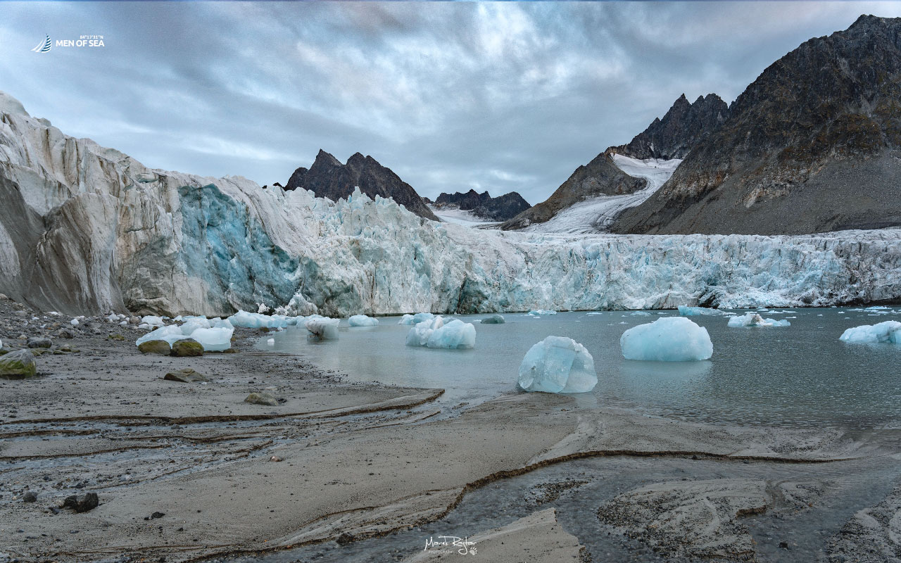
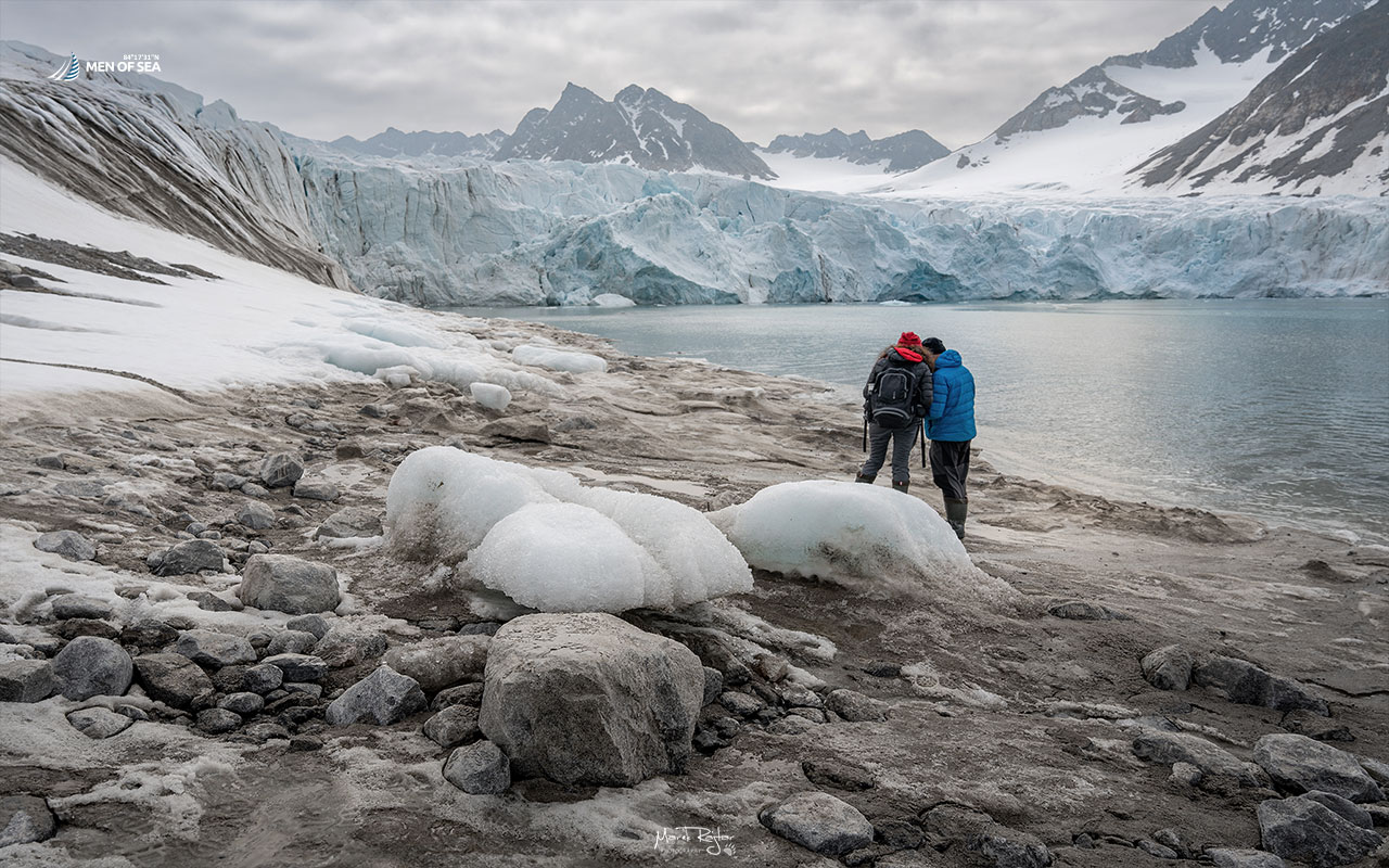
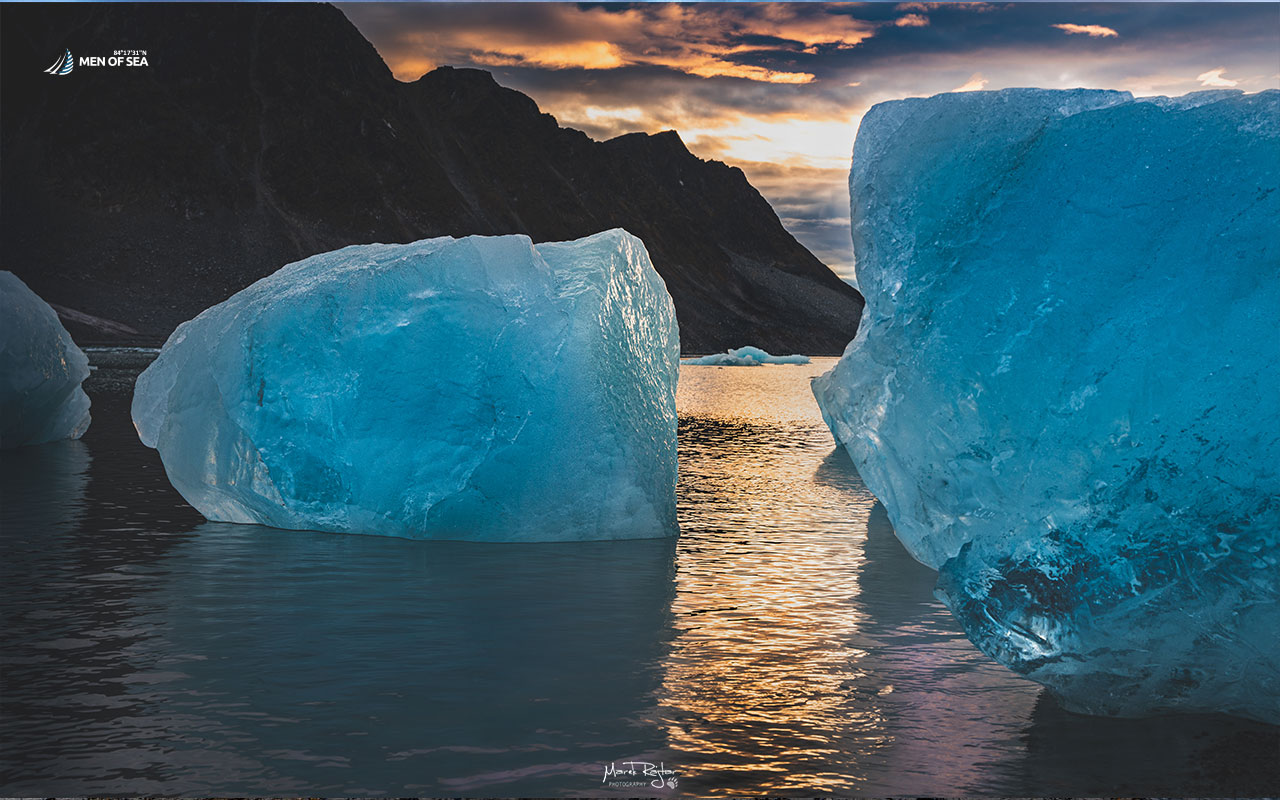
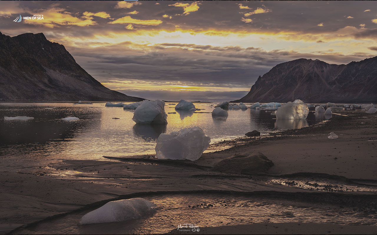
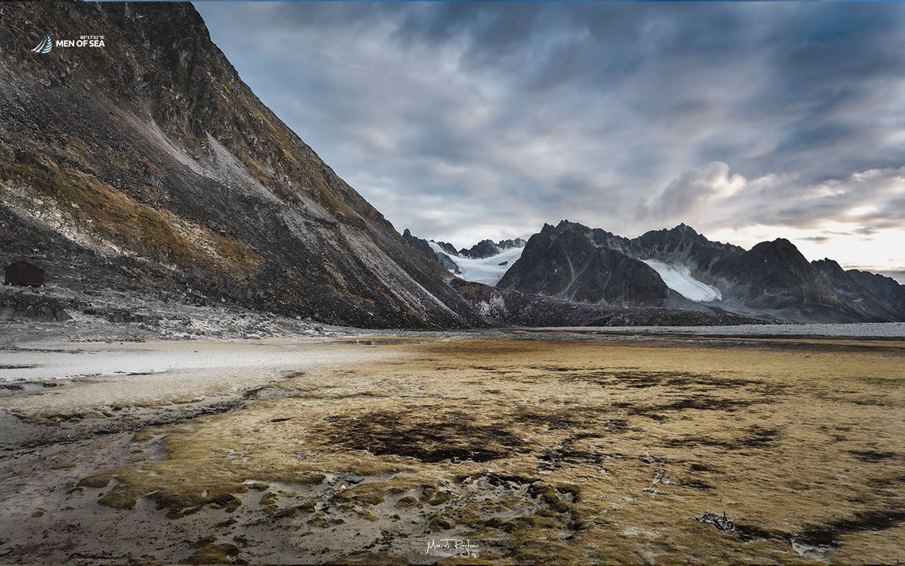
We sail our yacht into a small Trinityhamna cove, drop anchor, and then disembark onto the nearby sandy beach. From there, we embark on a several-hour trek towards the Gullybrenn glacier. Our route follows the shore composed of beaches and numerous scree slopes, passing lakes and streams formed by melting ice and snow. In the water, there are “ice calves” born by Gullybrenn, which, carried by water currents, often land on the beach. After less than 3 kilometres, we reach the glacier’s front. We are very close to it, as part of it rests on the beach, while the rest descends into the sea. This glacier is often active, and we have frequently observed large blocks of ice crashing into the water, creating fountains and waves.